
Two Chokepoints, One City: A Commuter's Guide to the Caldecott Tunnel and I-880
Oakland's traffic map is drawn by two corridors — State Route 24 through the Caldecott Tunnel to the east and Interstate 880 along the bay. Knowing how each one fails is half of beating them.
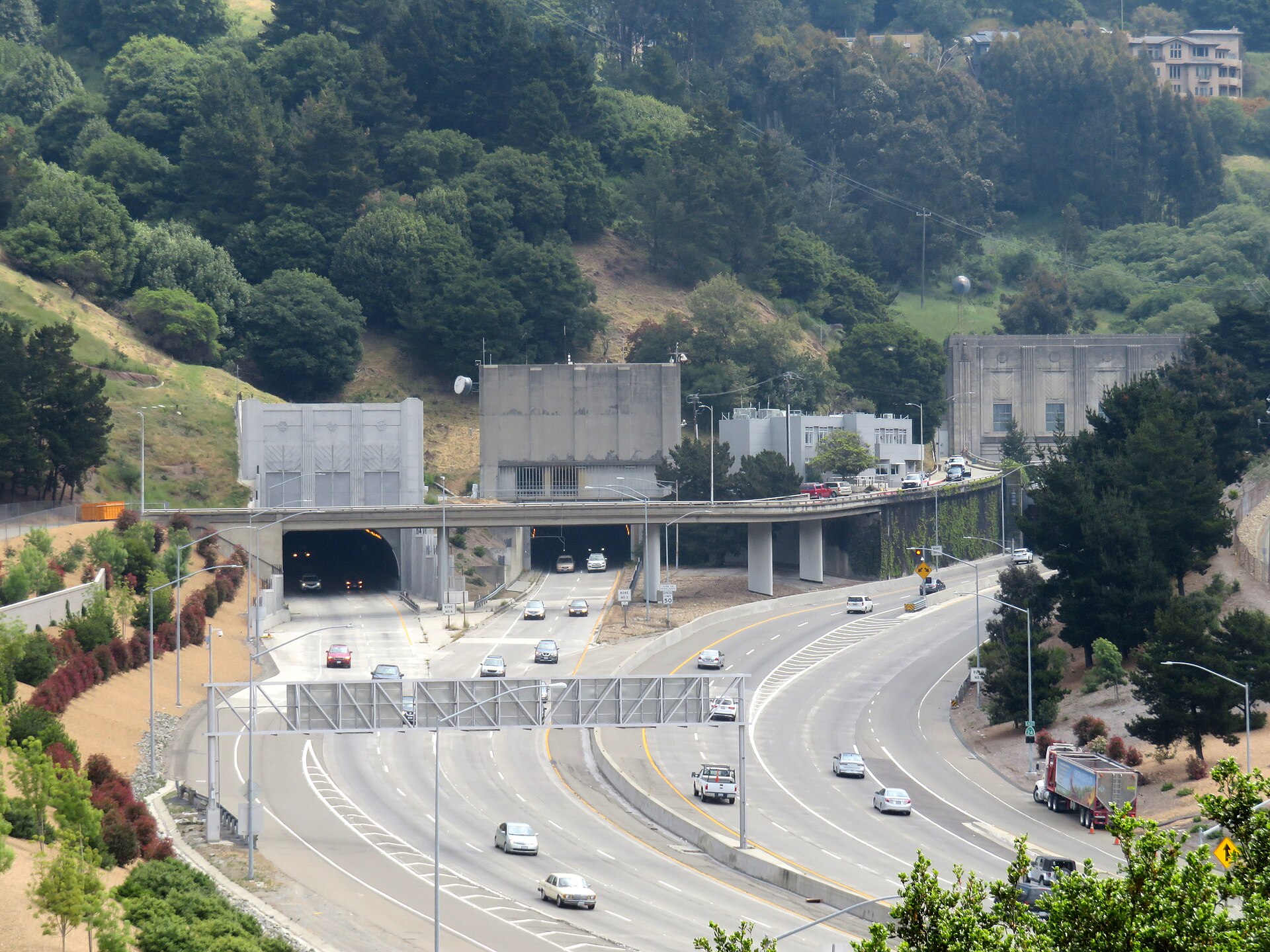
Every Oakland commute is a negotiation with geography. The East Bay hills wall the city off from Contra Costa County, and State Route 24 funnels through that wall at the Caldecott Tunnel — four bores carrying traffic between Oakland and Orinda. When the tunnel flows, the inland suburbs feel close. When it does not, the backups unspool down the freeway and onto city streets in Rockridge and Temescal.
The tunnel's rhythm is set by direction and hour. Morning traffic presses west toward Oakland, San Francisco and the Bay Bridge; the evening reverses it. Incidents inside a bore have outsized effects because there is no shoulder to absorb them, and drivers choosing between the tunnel and a long way around Interstate 580 through Castro Valley learn to check conditions before they commit, not after.
Oakland's second great corridor runs the opposite direction entirely. Interstate 880 hugs the bayshore north-south, serving the Port of Oakland, Oakland International Airport, the Coliseum area and the industrial flatlands, and carrying a heavy mix of commuter cars and port truck traffic. Its slowdowns build around interchanges — Interstate 980 into downtown, Interstate 580, and the airport exits — and around anything that happens at the port or the stadium complex.
Interstate 580 itself, running along the hills through East Oakland, and Interstate 980's short downtown connector complete the local freeway web, with BART and AC Transit as the standing alternatives when the web knots up. The MacArthur maze, where the corridors braid together near the Bay Bridge approach, remains the region's most consequential few hundred yards of pavement.
The evergreen advice holds this month: give the Caldecott a time cushion on weekday mornings, treat I-880 as a corridor to check before entering rather than after, and keep a transit fallback in mind on days when the whole East Bay is going the same place at the same time. Oakland's chokepoints are predictable — which means, most days, so is outsmarting them.